When your organisation is responsible for the maintenance of roads or assets in the public space, you’ll probably have wondered how to improve the productivity of capturing, analysing and sharing data for asset management, road, water and rail inspections, inventories of signs, light poles, road marking and mobile mapping.
At Horus View and Explore we know a lot about registering public space. And that’s why we developed several mobile mapping systems. It helps you to focus on assessing areas and roadside assets that require maintenance. The quality of inspections and survey increases with the use of high-resolution cameras. Viewing images and assessing them from your desktop is much more comfortable, safe and cost effective.
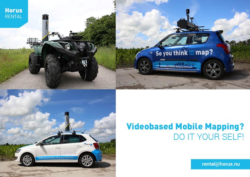
With the Horus Citymapper or the Trimble MX7 you can easily do it yourself.
Rent the systems stand alone or with vehicle and operator. To find out more, contact Horus View and Explore.